
-
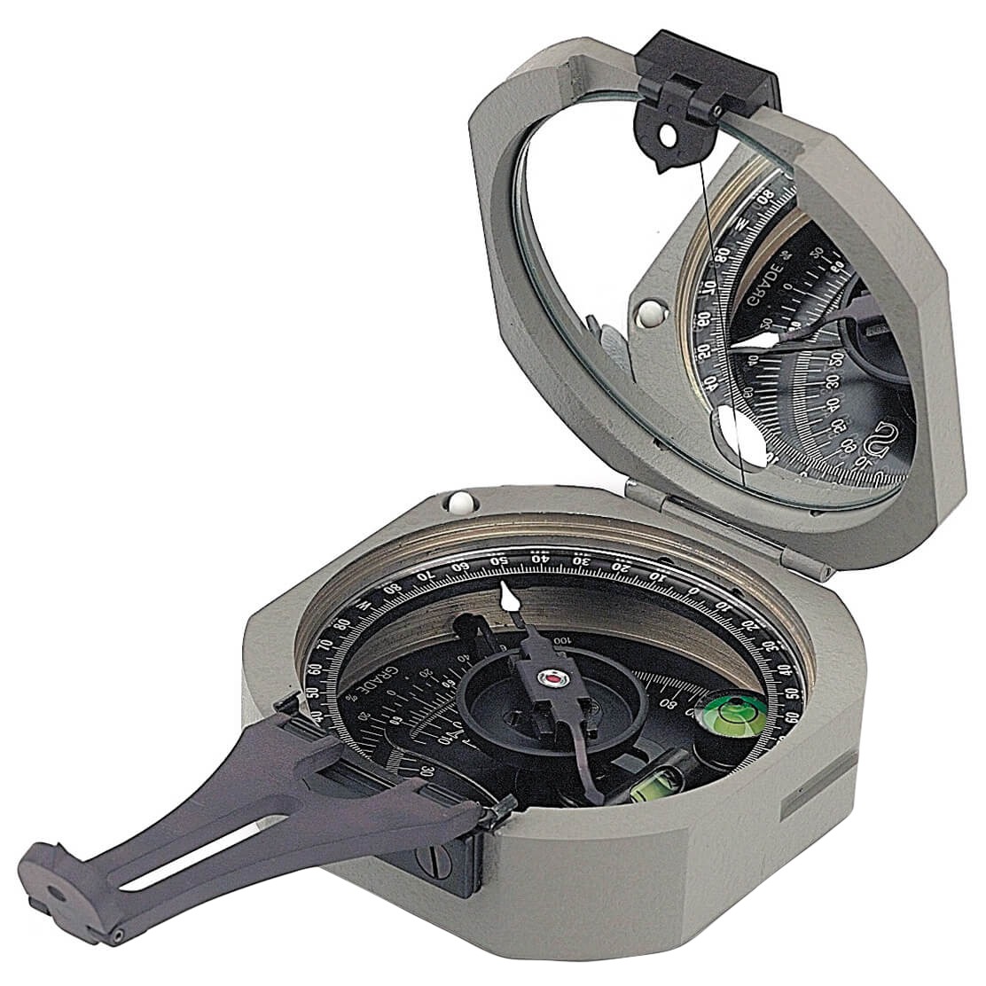 Brunton CompassSee Products
Precision compass for geological mapping, strike and dip measurements, and field navigation. .
-
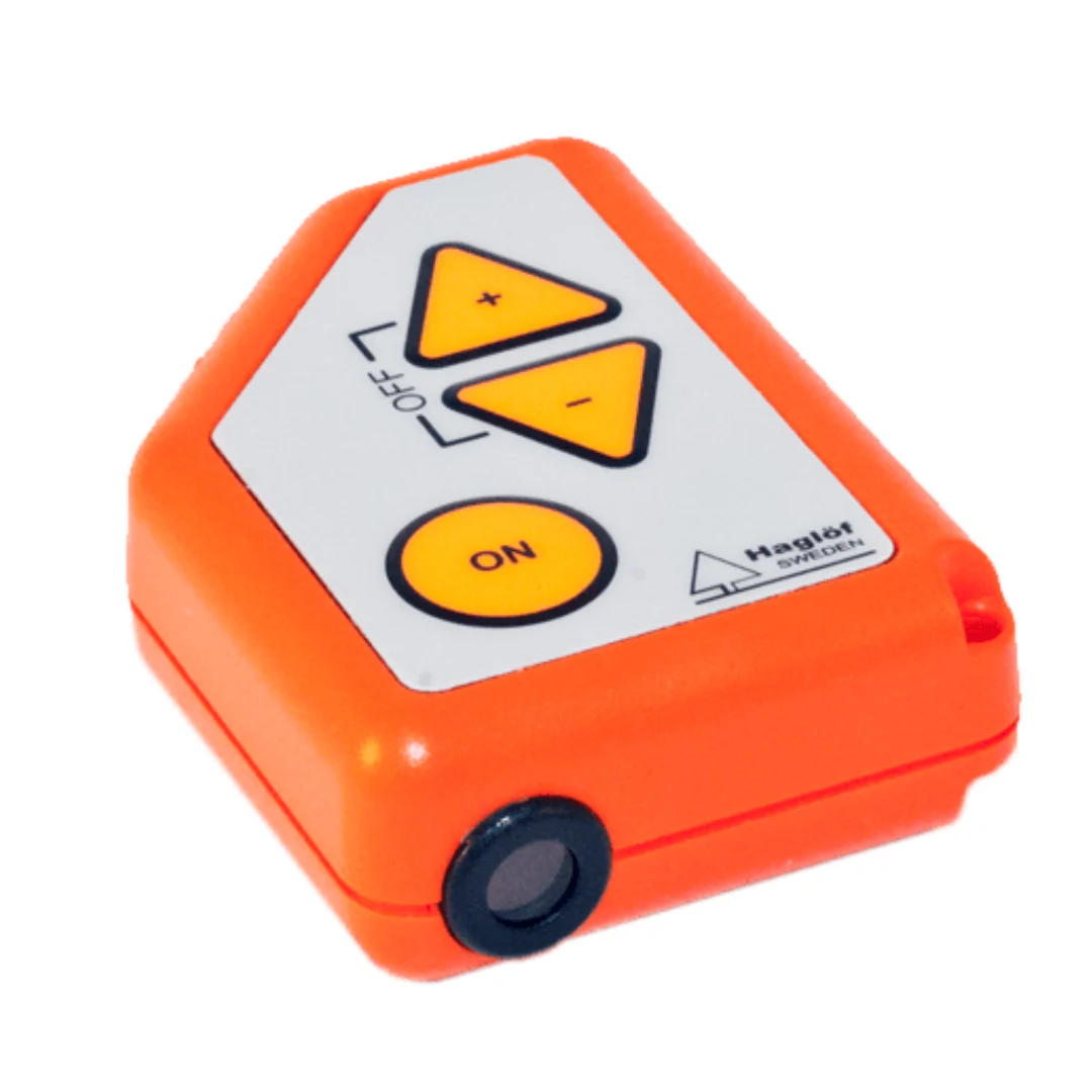 Haglof ClinometerSee Products
Accurate slope and angle measurement for terrain analysis and geological studies.
-
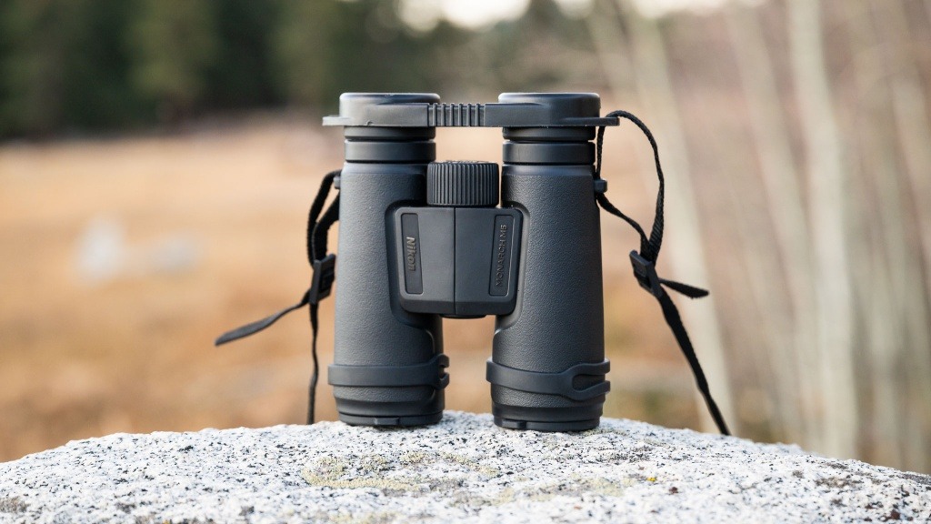 Nikon Monarch BinocularsSee Products
High-quality optical binoculars for long-distance observation, terrain inspection, and field reconnaissance.
-
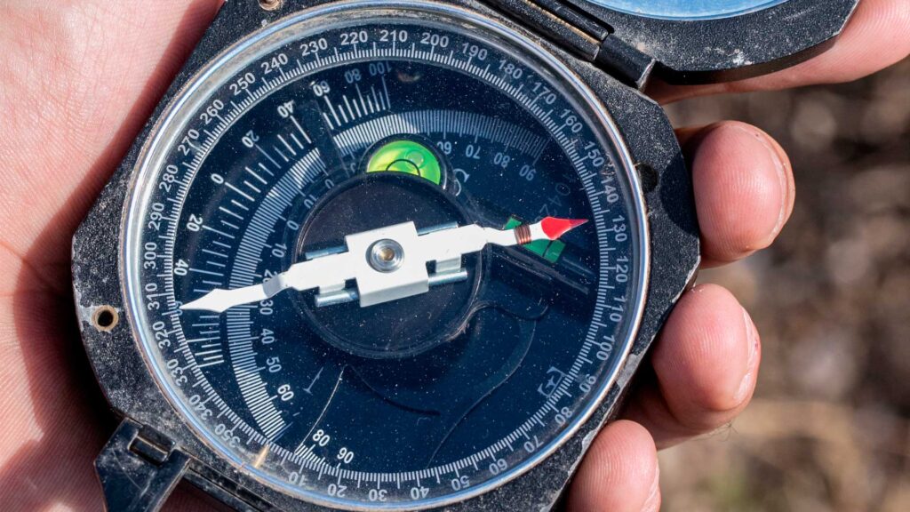 MagnetometersSee Products
Instruments for detecting magnetic anomalies related to geological structures and mineral exploration.