
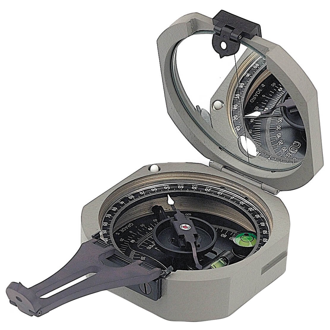
Industries > Geographical Instruments
Geographical Instruments
We supply a comprehensive range of geological and geophysical instruments designed for field exploration, mapping, and subsurface investigations. All units are selected for durability, accuracy, and professional use in geology, hydrogeology, geophysics, and environmental studies.
01. VLF Survey Instruments
Very Low Frequency (VLF) survey instruments are used to detect subsurface conductive features such as faults, fractures, and groundwater-bearing zones. These systems are widely applied in geological mapping, groundwater exploration, and environmental investigations, providing fast and reliable field measurements.
02. Interpretation & Processing Software
Advanced interpretation and processing software enables accurate analysis of field data collected from VLF and geophysical surveys. These tools help transform raw measurements into clear profiles, anomaly maps, and professional reports for decision-making and technical studies.
Why Choose Our Geographical Instruments?
-
Brunton CompassSee ProductsPrecision compass for geological mapping, strike and dip measurements, and field navigation. .
-
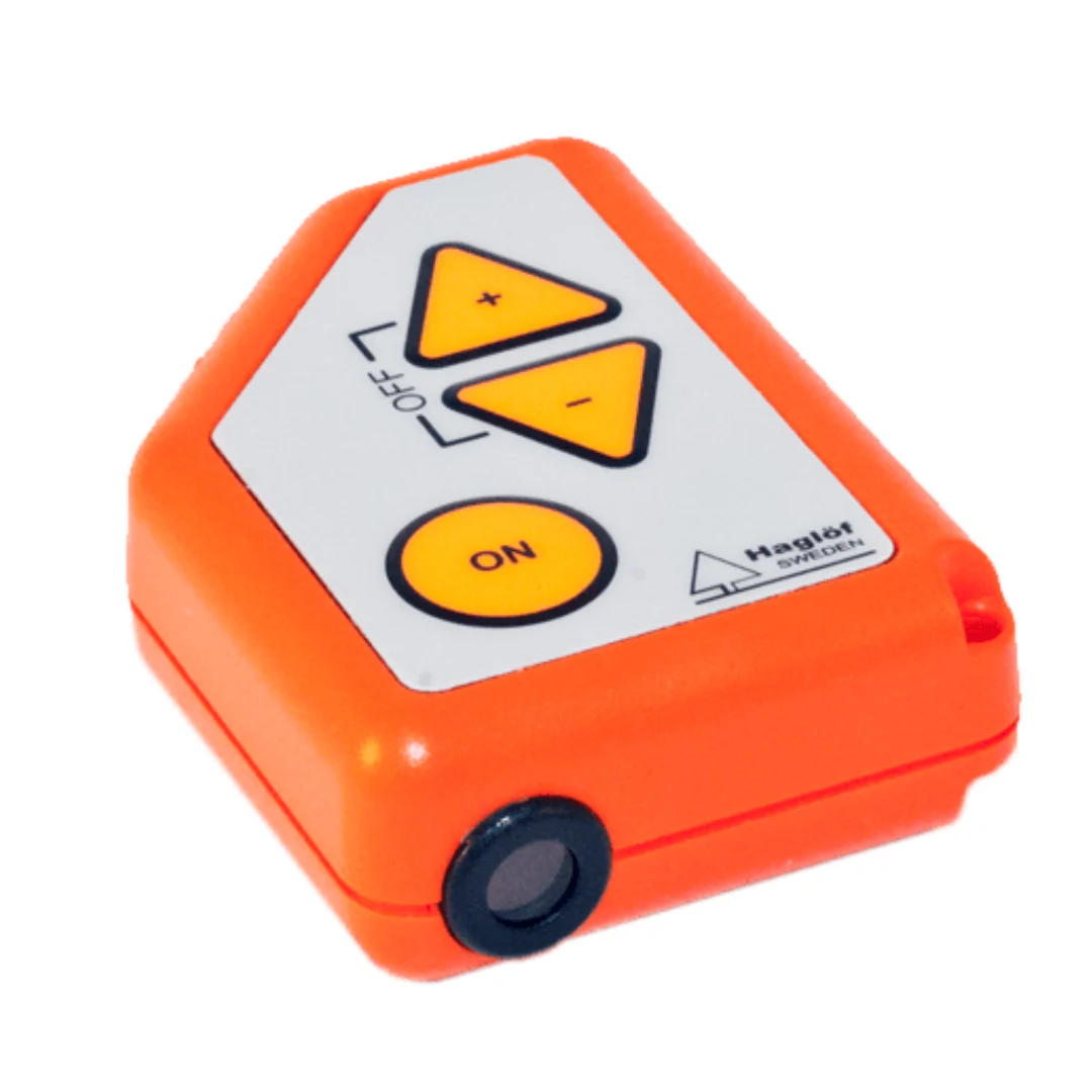
Haglof ClinometerSee ProductsAccurate slope and angle measurement for terrain analysis and geological studies.
-
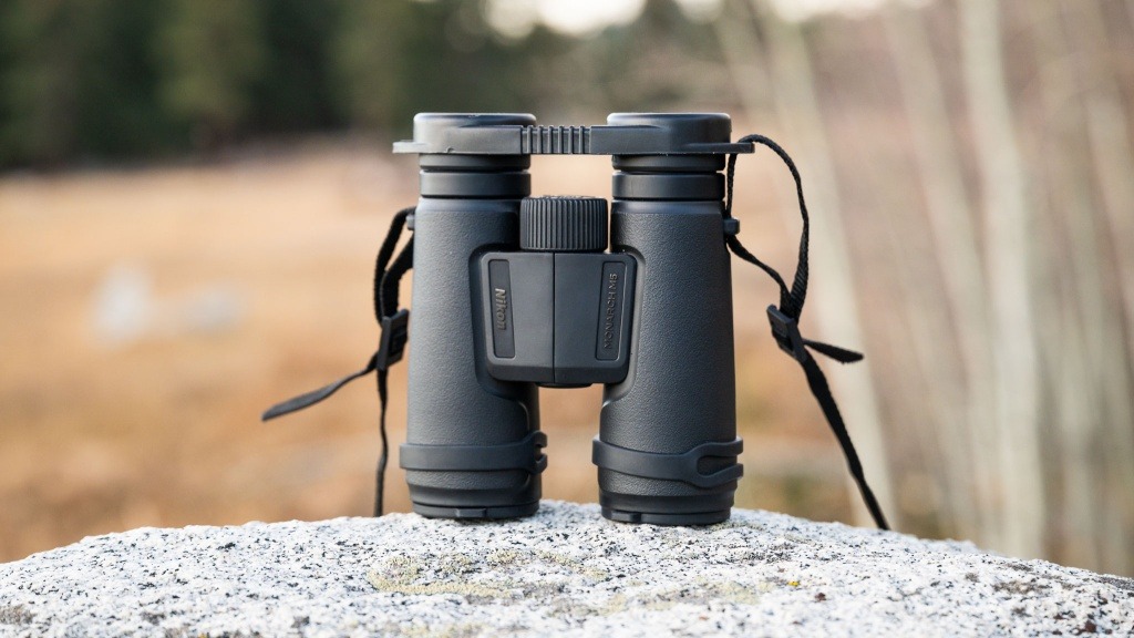
Nikon Monarch BinocularsSee ProductsHigh-quality optical binoculars for long-distance observation, terrain inspection, and field reconnaissance.
-
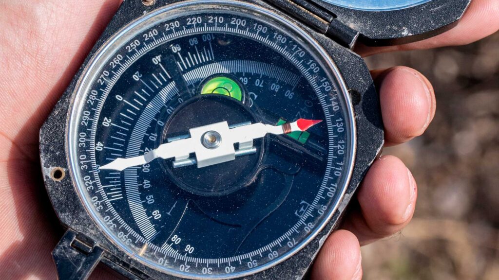
MagnetometersSee ProductsInstruments for detecting magnetic anomalies related to geological structures and mineral exploration.