-
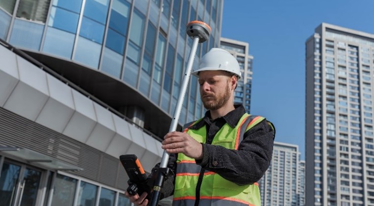
 RTK GNSS SurveyingSee Products
High-precision GNSS surveying solutions for land surveying, construction, mapping and engineering.
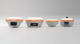
- GNSS Receivers – Multi-frequency RTK receivers with centimeter accuracy.
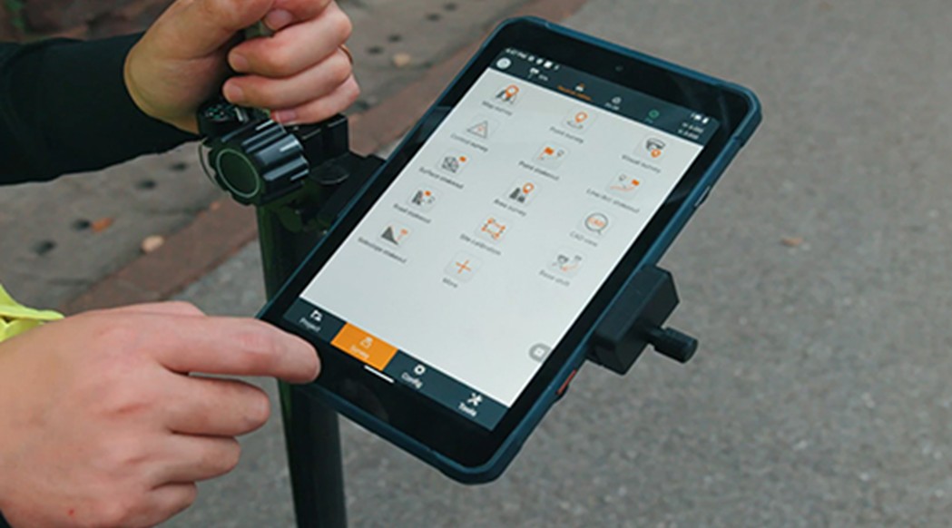
- Data Controllers – Rugged field controllers with bright displays.
- Surveying & Mapping Software – RTK, GIS, stakeout and workflow tools.
-
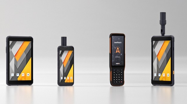
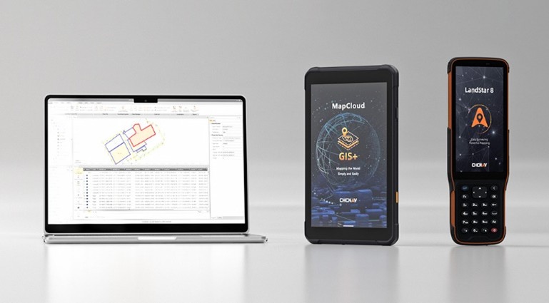
 Handheld GPS, Android Tablets & SmartphonesSee Products
Rugged mobile devices for GIS, mapping, inspections and outdoor data collection.
- Rugged Android Tablets – Waterproof, shockproof industrial tablets.
- Rugged Handheld with RTK – Long battery life with GNSS support.
-
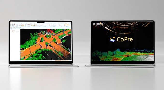
 3D Mapping & Modeling SurveySee Products
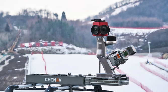
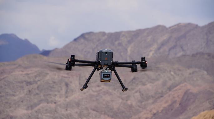
Advanced LiDAR, mobile mapping and drone-based solutions for fast and accurate 3D data capture.
- Multi-Platform LiDAR Systems – Terrestrial reality capture with point cloud software.
- Mobile Mapping Systems – GNSS RTK, Laser Scanning and Visual SLAM.
- Professional Drones – Airborne LiDAR, smart flight operation, aerial cameras.
- Compact LiDAR + RGB Systems – Lightweight integrated payloads.
- Complete Software Solutions – Flight planning, LiDAR processing and 3D modeling.
-
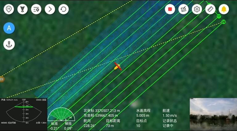
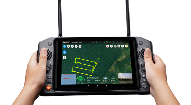 Marine SurveyingSee Products
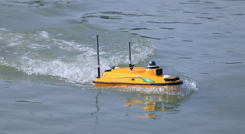
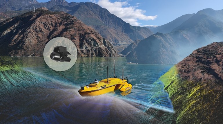
Hydrographic and bathymetric data acquisition solutions for inland and coastal water bodies.
- Unmanned Survey Vessels (USVs) – High‑performance, optimized for Norbit echosounders.
- Hydrological Survey USVs – For rivers, tanks and reservoirs.
- Single & Multibeam Bathymetric USVs – Precision depth profiling and coastal engineering.